Seekin’ Stehekin, The Hard Hundred and Other Tales from the Evergreen State
Greetings from the ersatz Bavarian town of Leavenworth, Washington where the schtick and schnitzel are both hammered hard. After only 12 days back on trail and 220 miles of hiking (of which only 188 count, but more on that later) I’ve completed about a third of the state. The same proportion of California took me nearly eight weeks. This makes it all sound like a walk in the park, but it’s been the toughest hiking yet of the trail. Washington has more up and down than even the Sierras, albeit at much lower elevation. Still, some back of the napkin math puts me at 1,000 lifetime backpacking miles and I’ll be at the 1,000 mile mark for the PCT in a week or so.
Once back from Vancouver, I picked up my gear from Bainbridge Island off of Seattle and caught a ferry and three buses which got me all the way to Twisp, Washington. Along the way, my bus route converged with that of Lucy, a true SoBo-er as well as Double Dip, Wonka, and Sunnywash (SnoBo-ers, like me). Lucky for us, once in Twisp we were spared bus number four when Lucy ran into Raven, a hiker and trail angel who makes runs from a hiker oasis called the Lion’s Den in Mazama to Hart’s Pass, the closest access point on the trail to the Northern Terminus.
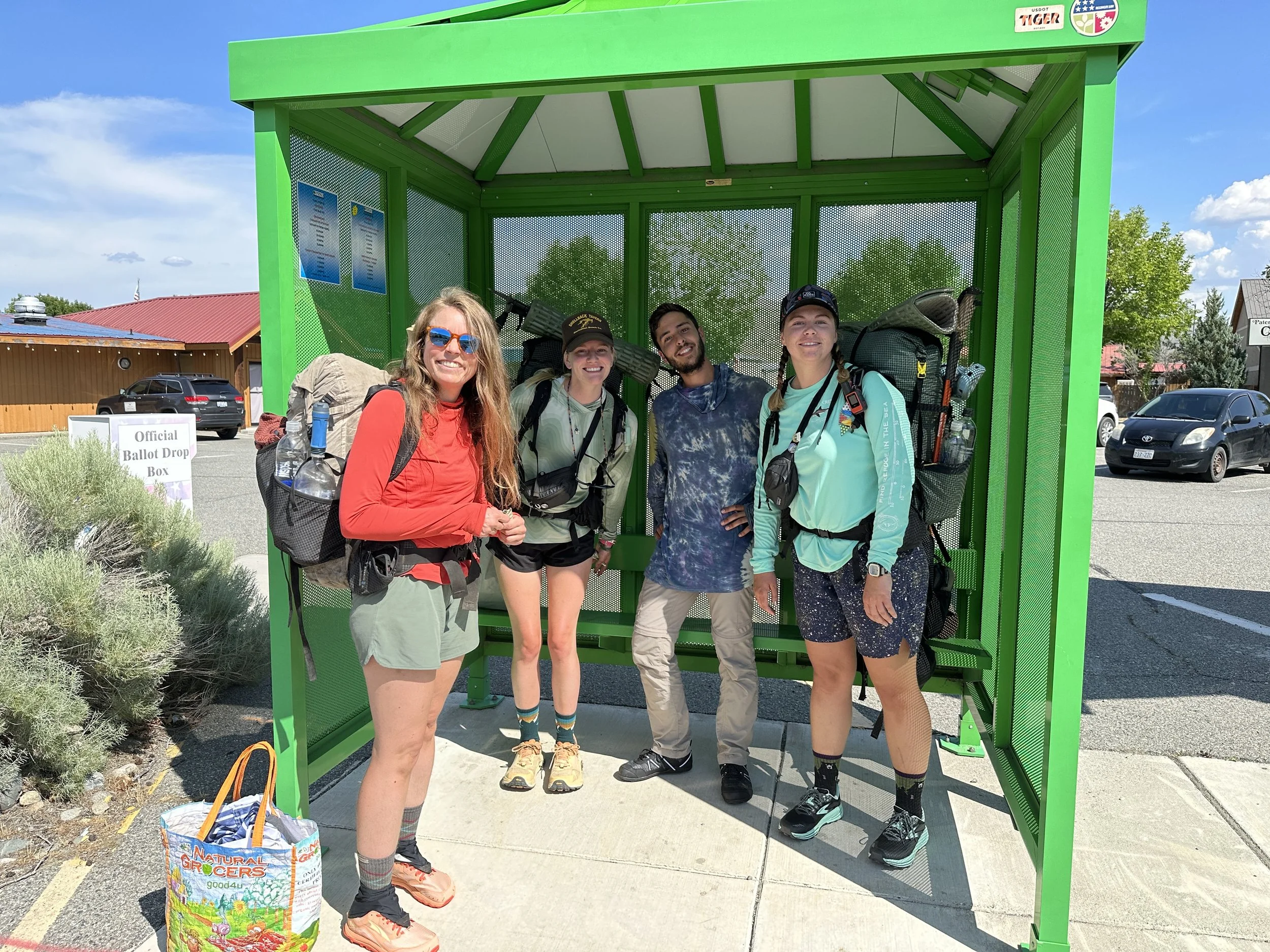

The Lion’s Den was a truly incredible stop along the way. Lion and Raven have poured so much love, work and organization into the property that it is impossible to not feel at home and well cared for there. It could not have been easy to put it together and it must take even more work to keep it going. Getting close to Hart’s pass is challenging and getting to it can depend on the whim and rhythms of day hikers. Raven and Lion make the last miles effortless and make sure that you’re clean, laundered and fed along the way.
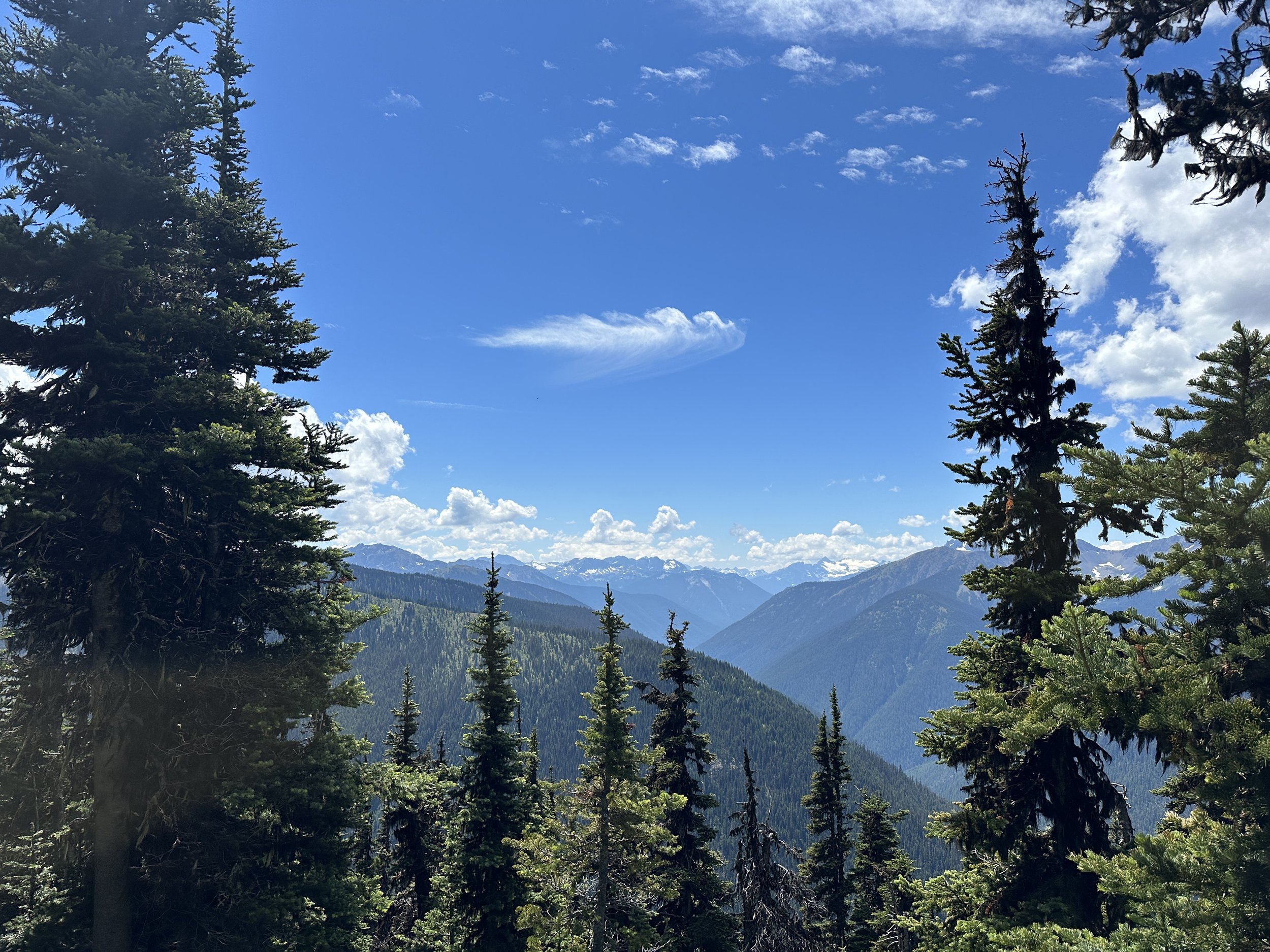
Along with a dozen other hikers, I was dropped off at Hart’s Pass on the 29th of June and it was immediately clear we were not in Kansas anymore. Evergreens surrounded the North Cascade peaks, streaked and mottled with the last remaining snow patches struggling against the rapid melt of this year’s summer. Hart’s pass is about 30 miles from the Northern Terminus of the PCT at the US-Canadian border. While Canada has recently resumed a program that allows hikers to enter Canada through Manning Park, which is then only a 7 mile hike from civilization, the US does not return the favor. Although no one is there to stop you from entering the US, we all hike in 30 miles to the Northern Terminus and then 30 miles back to start making progress against the full mileage of the PCT.
After dropping off my snow gear and half of my food resupply at the Hart’s Pass bear box (and going a mile down and back a forest service road instead of the PCT), I was off! It felt great to be back on trail. It felt great emotionally. It felt great spiritually. It did not feel great physically. While my muscles were eager to climb and my lungs happy to still fuel me a mile high, my joints and ligaments were rusty after nearly two weeks off. After a relatively light first day of ridge traverses the old bones were still glad to make camp along with nearly everyone else who started at Hart’s that morning. It had been a good day. I get a lot of energy from meeting new people on the trail and there was a new element here. Hikers were able to meet each other in volume in both directions since everyone had to repeat the miles from Hart’s the the Terminus. Lucy and Two Braids camped on either side of me and we had a good chat while I ate cold instant mashed potatoes from inside my tent, safe from the mosquitos.
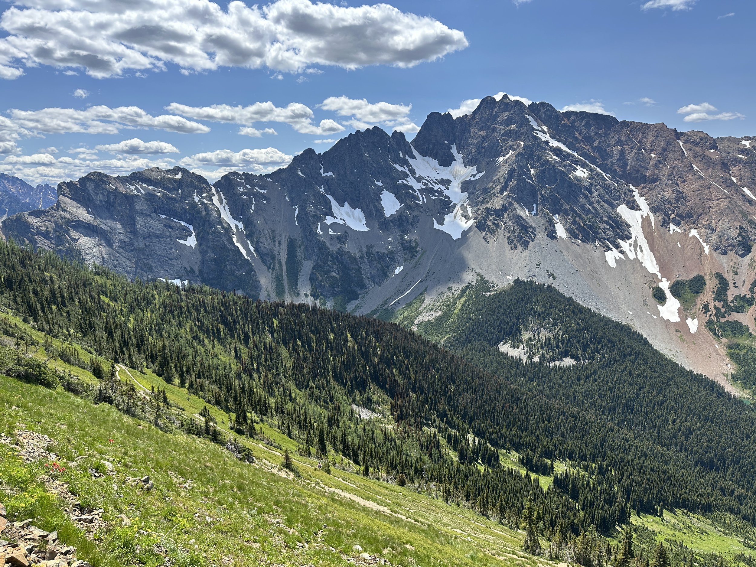
Things were looking up on the second day back. The birds were singing. The sun was shining. The border was only 14 miles away. But then, the check engine light came on. Something was wrong with my knee. Should I stop? Turn around? A mile in would be a mile to hike back out if something really was wrong. At risk of writing checks my legs couldn’t cash, I decided to push on. I had somehow left my Vitamin I in the bear box, but the kindness of Pat, Naked Dave and others left me able to dull the pain. Thankfully, it was a one off. I did 21 miles, hit the highest point on the PCT in Washington, a viewpoint with a panoramic view of the North Cascades, and included a long slack pack from Hopkins Lake to the border and back.

The entire experience at the border was a little surreal. Because I hadn’t earned the full 2600 miles between Campo and Canada, it lacked the same emotional resonance as when I arrived at the southern monument with Matt, Jessie and Penny two and a half months earlier. Still, the site was unmistakable. It consisted of the same five pillars as the southern monument, only this time made out of wood, rather than concrete. I thought about how many hikers who had skipped up ahead of fires last year only to be turned away 60 or even 30 miles away when fire threatened. I also thought about the last hikers to make it before the trail was closed. Such a fine line.
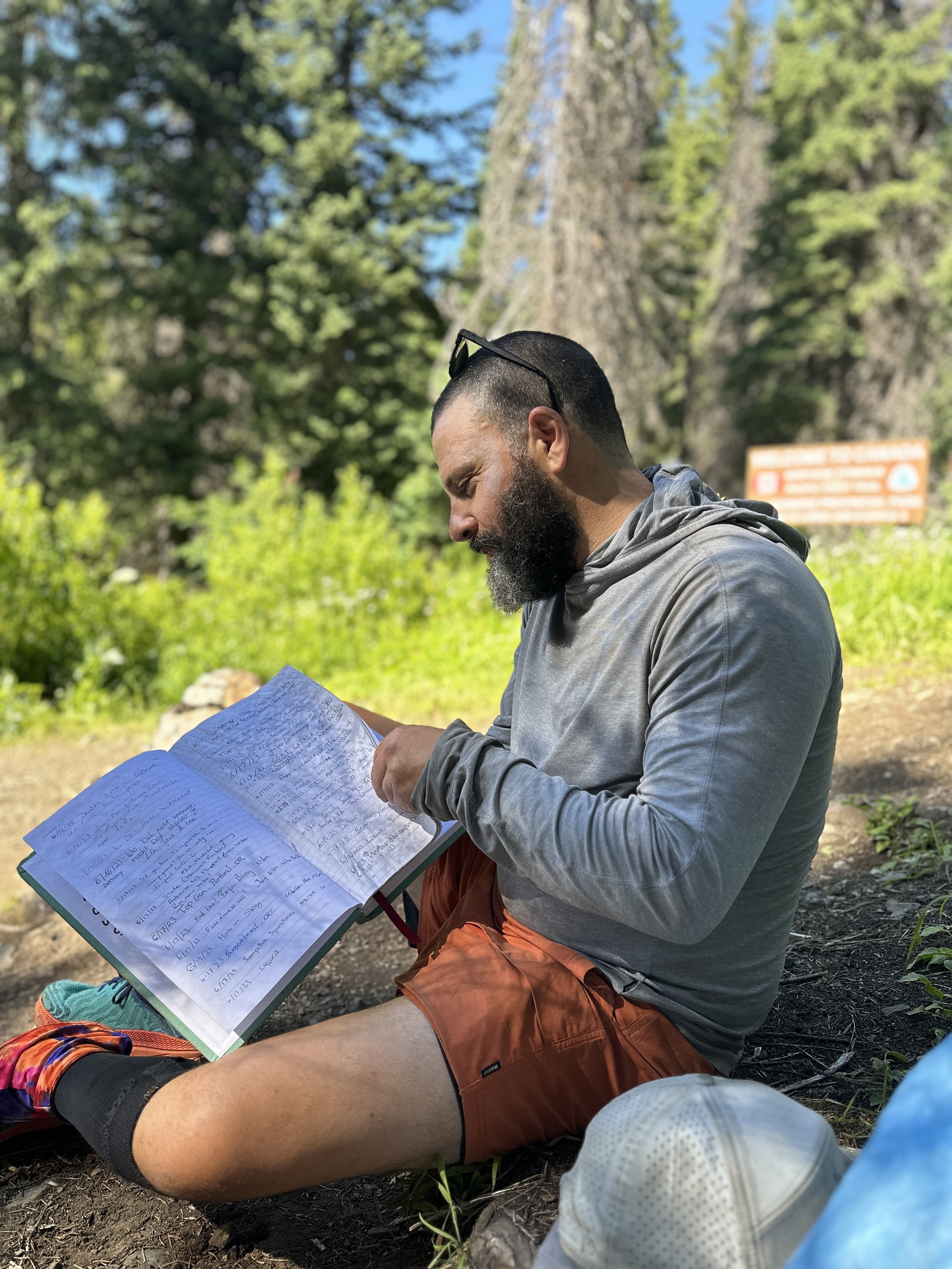
I read the trail register and saw names of friends I had made in the desert and the names of hikers I had met on the way in. Not long after I arrived, a man and woman loped in easily to the clearing where she climbed the monument and posed with glee. This was Sprocket. She had been denied by 60 miles last year and was just now completing her hike.
Her companion looked familiar. I thought he looked a lot like a thru hiker and YouTuber named Jupiter, one of the stars and celebrities of the thru-hiking world. This coincidence was somewhat akin to going to play a round at Augusta and finding that Phil Mickelson just happened to be there, playing a casual round with friends. We chatted a little at the monument and ran into each other again the next day when Jupiter hung back for a little and hiked with me to give me some info on the trail up ahead. That return trip was 24 miles, a new record for me and included over 5,000 feet of gain, another record, albeit one that would be broken again and again the next week. I paid for the prize with a very sore ankle and while I’d intended to continue on the Stehekin the next day, I decided to recover with a zero at Lion’s Den once again.
The next three days flew by. There was the grand rise from Hart’s Pass (south this time) and the long descent to Glacier Pass, where I caught a photo of Legacy, almost imperceptible on the switchbacks below the towering range. I had my latest rise yet on trail (8:20 am!) and still made close to 20 miles. I had inadvertently set myself up for one of my greatest days on trail and in town yet.
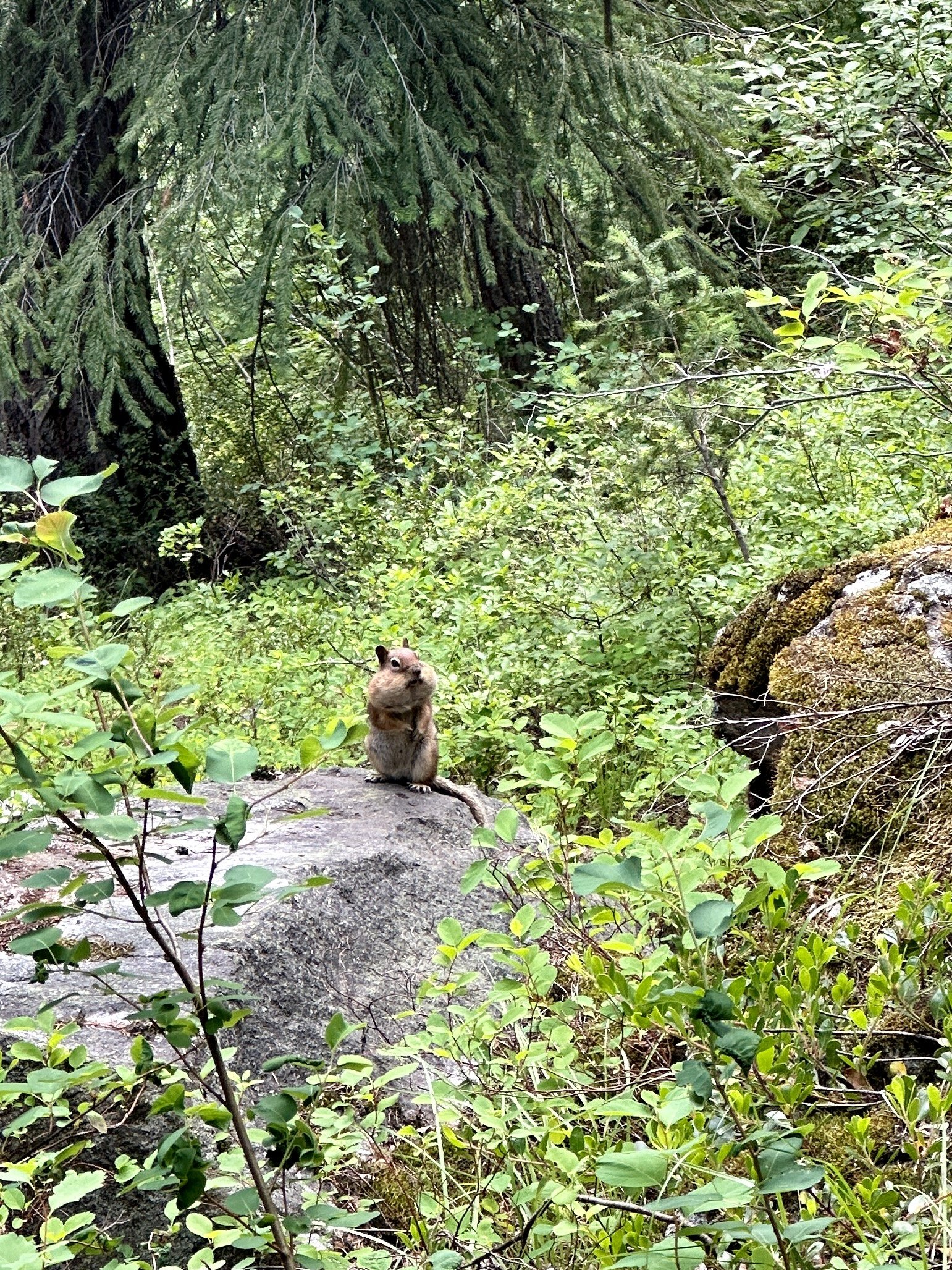
I woke up a little late the next morning as well when a number of us would hike in to High Bridge in order to get the shuttle into the small town of Stehekin, known for its bakery, and only accessible by boat, float plane or foot. Once I hit the trail, things felt good. Very good. I was moving at a clip comparable to the Mission to McDonald’s, the Adventure to Acton and, of course, the 10 before 10. There was a 3pm shuttle as well. I was going to turn on the after burners and see if I could make it. The day would be for Seekin’ Stehekin. No music. No stopping as I blew through North Cascades National Park, my first of the trip. Just pushing. The state felt almost meditative. I filtered water once. I stopped for a five minute lunch. Aside from a quick hello to Niko and Angie who I met on my first day back out and a few slower steps to grab some barely ripe Huckleberries at the warmer, lower elevation it was all push.


I made it to high bridge alongside Anton and Valentine, two French hikers, with 20 minutes to spare. This meant getting into town before it closed down: delicious gluten-free pastries from the bakery, cider at the general store and, most importantly, a cabin at the Stehekin Valley Ranch. This recreational ranch felt to me more like summer camp than resort. It had an feeling of welcome and trust. In a world often driven by exchange, this felt like a community. Within 20 minutes I was clean, (most of) my clothes turning in the washing machine, and was chatting happily with two owl researchers from the Forest Service. Not long after a storm spared my clothes on the wash line I was talking to another guest, Steve from Buffalo, out with his wife to visit their son who had moved to Vancouver, Washington. It was a great talk. He and his wife had met at my favorite Buffalo dive bar and I really wish I could have taken those extra Grateful Dead tickets off his hands.
The next morning I was feeling a little solitary. I sat down to eat by myself, gluten-free bread from the Stehekin Bakery making a stellar plate even better, when I notice the owl researchers eating with Steve and his wife. I had taken a spill a few days before and had a nasty bruise on my right arm that the researchers had seen. Right as I sat down, Steve mentioned he was a doctor and one of the researchers who had seen the bruise the night before said they knew someone who maybe should see one. A minute later I was being examined. All because of Seekin’ Stehekin. Once again, the trail provides.


Resupply
With a heavy heart, I hiked out of High Bridge that afternoon after a long talk with the ranger. Unknowingly, I was about to begin the Hardest Hundred miles of the trail. Beta (trail information) had come down by word of mouth and through the Far Out app that this section would be a bear. There were complaints of blowdown after blowdown, overgrown trail and 5,000 mile gain days, day after day.
After the first two days, I thought my SoBo colleagues were soft. If they wanted to see real blowdowns, they would have to wait until their descent around Apache Peak on San Jacinto. How wrong I was. After tackling occasional blowdowns on the way to the Suiattle River, I suddenly found myself paralleling the river navigating a jungle gym of 200 year old cedars. Just 13 miles into this day it was 4:30pm and I ran into Valentine making camp before the climb to the first true view of this Hardest Hundred. There was a decision to make. Head to Dolly Vista Camp and risk the same brutal set of blowdowns the preceded, arrive at camp late and dispirited or ensure a low mileage day during a stretch where hikers had already warned of delays and suggested taking extra food.

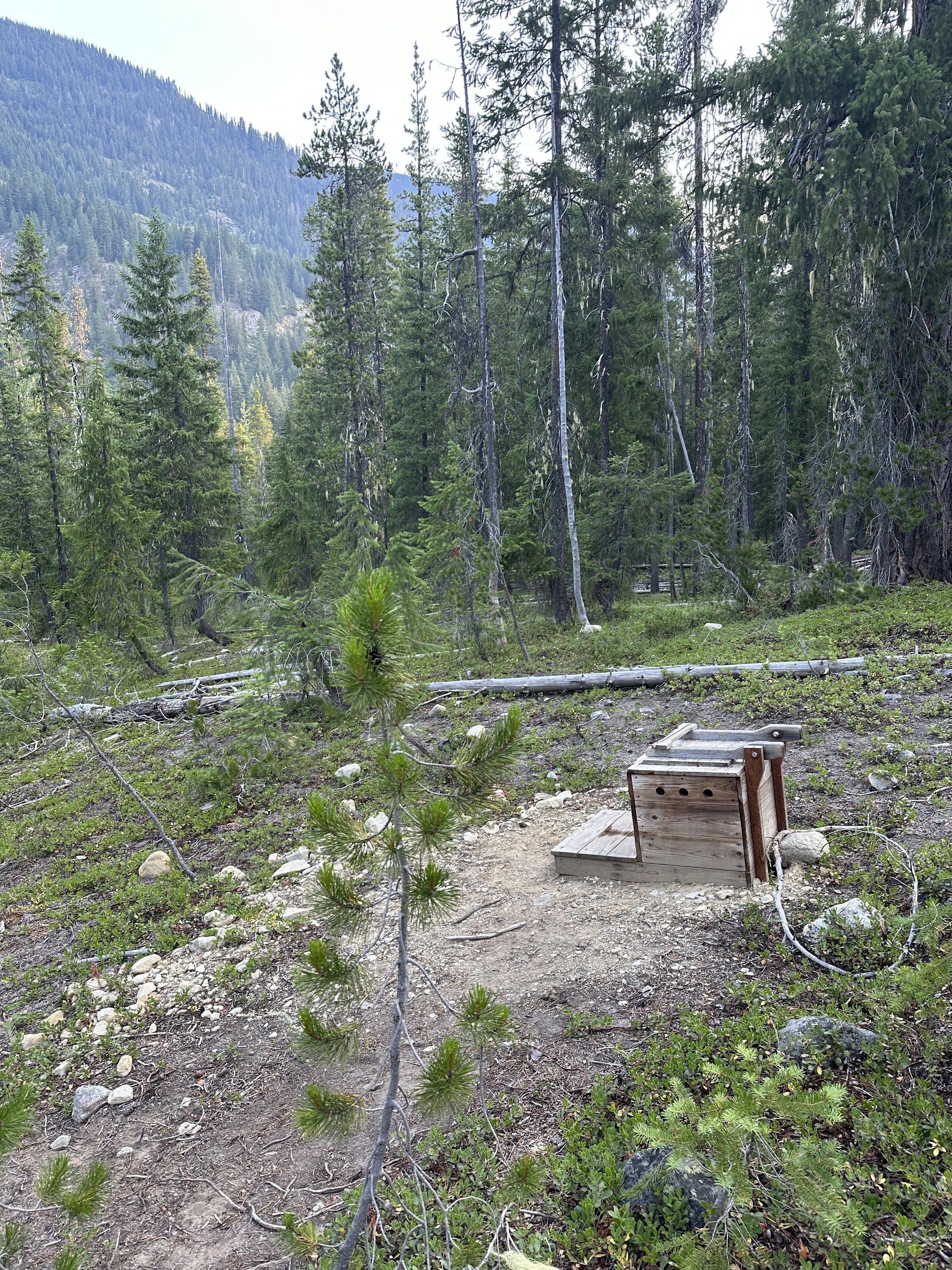
A PWAV: Poop with a View

I decided the morale boost of camping and eating with Valentine was far better than the risk of a low morale going even lower. Soon we were joined by Michael, Chris and Pockets and would all leapfrog through the next section, the hardest part of the Hardest Hundred.
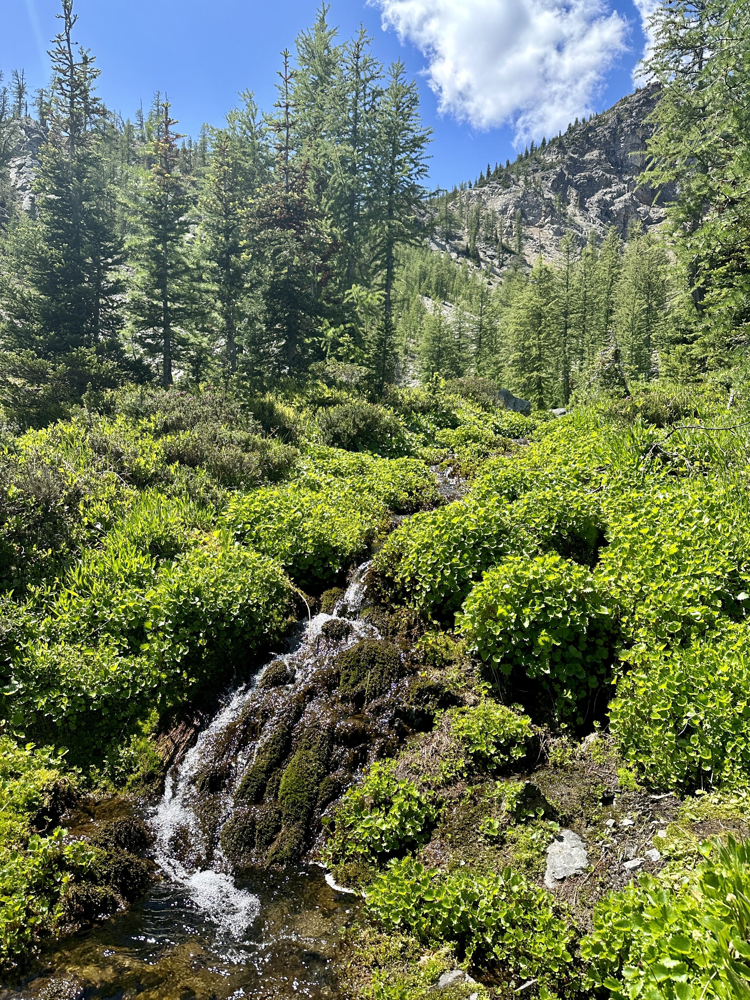
And although the 40 blowdowns on the way up to Dolly Vista were completely manageable they were just an introduction to extreme highs and extreme lows. I had experienced these on the trail, but never to such extremes and in such proximity. The trail may provide, but it also tests. Right after Dolly Camp were several miles of stunning alpine meadow, interrupted by snowmelt stream after snow melt stream, all ringed in by snow shadowed peaks. Yet once through, it was time for the most challenging of descents, a steep 4 miles of overgrown rock-studded, loose-dirt switchbacks that we’ve affectionately named The Salad.


What looks like a well manicured zig zag at the center is, in fact, the wild terror we know as The Salad.
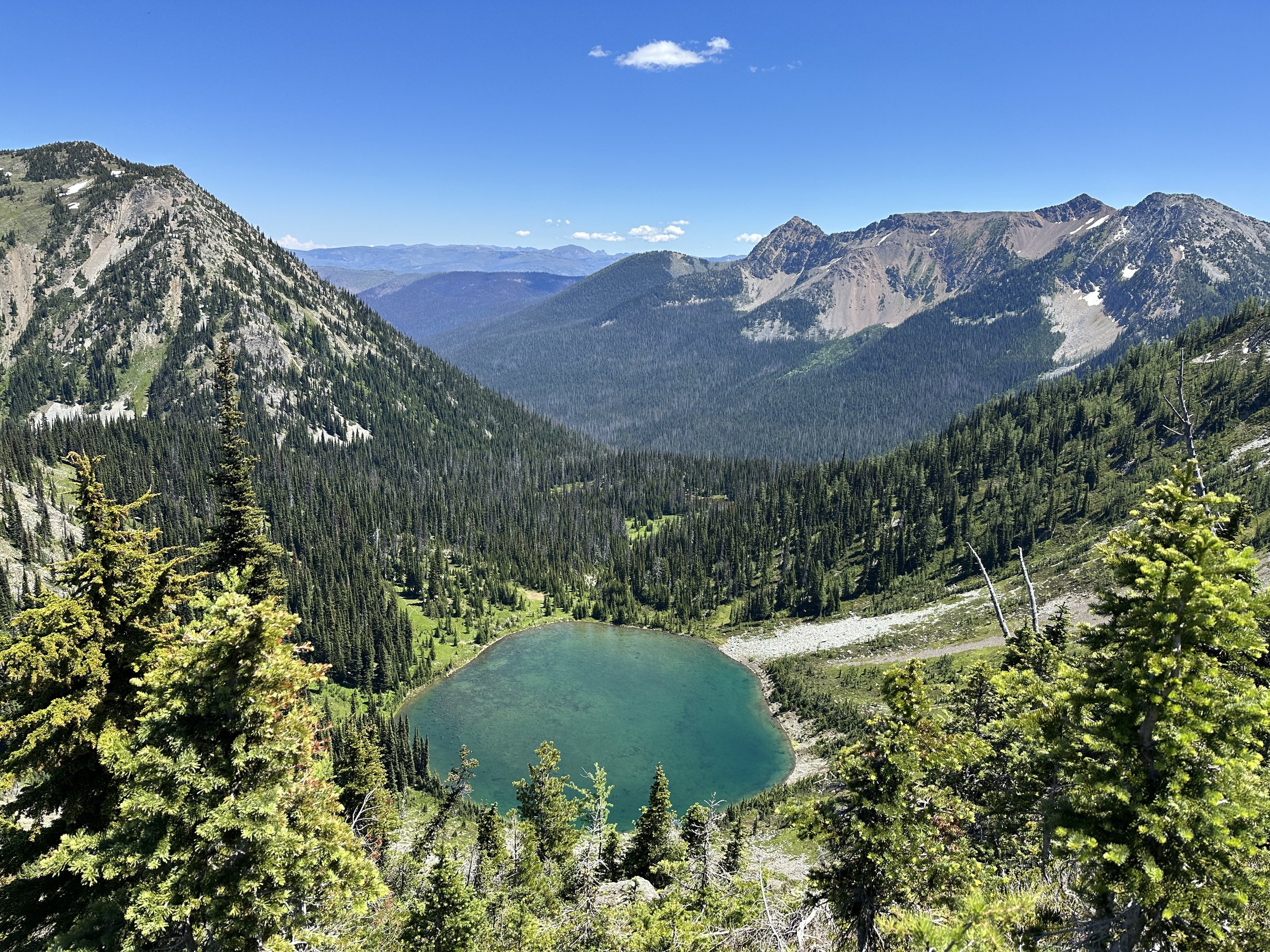
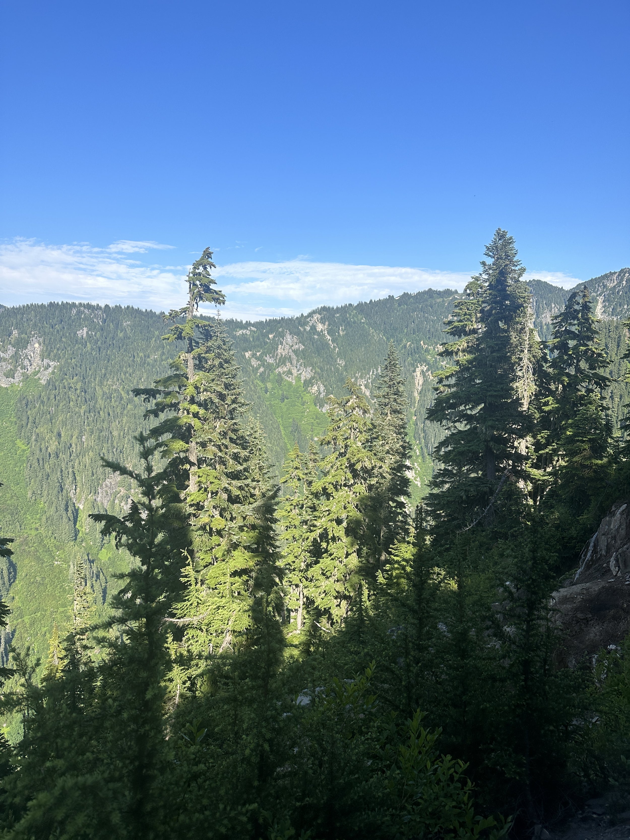
The Salad was a new Swamp of Sadness. And once I was at the bottom, my achy ankle finally getting some relief, my stomach more than ready for a snack, the thunder cracked and the skies opened up. Once again morale was low and I plodded on. After a long climb, I reached the stunning Mica Lake and then Fire Creek Pass, one of the sections Jupiter had warned me about. Thankfully, the risky snow sections were long melted out and I was treated to a stunning panorama–180 degrees of snowy Cascadian peaks in a half moon around the pass. Suddenly, this felt like one of the best days of my life. All of a sudden, morale was high.

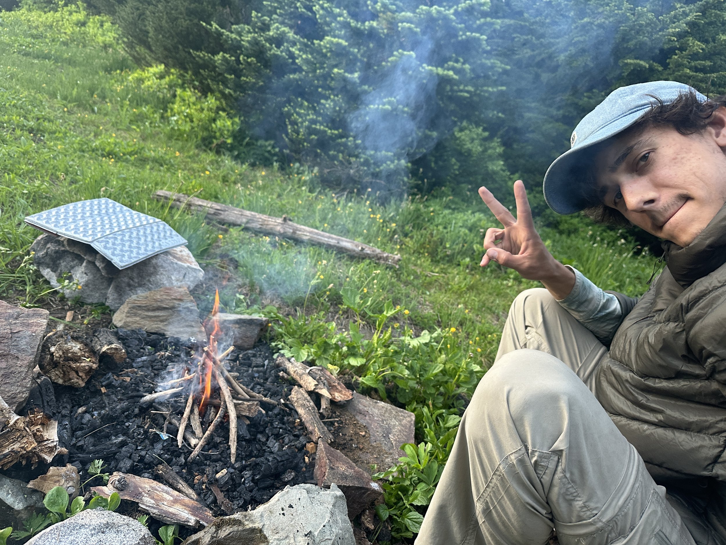
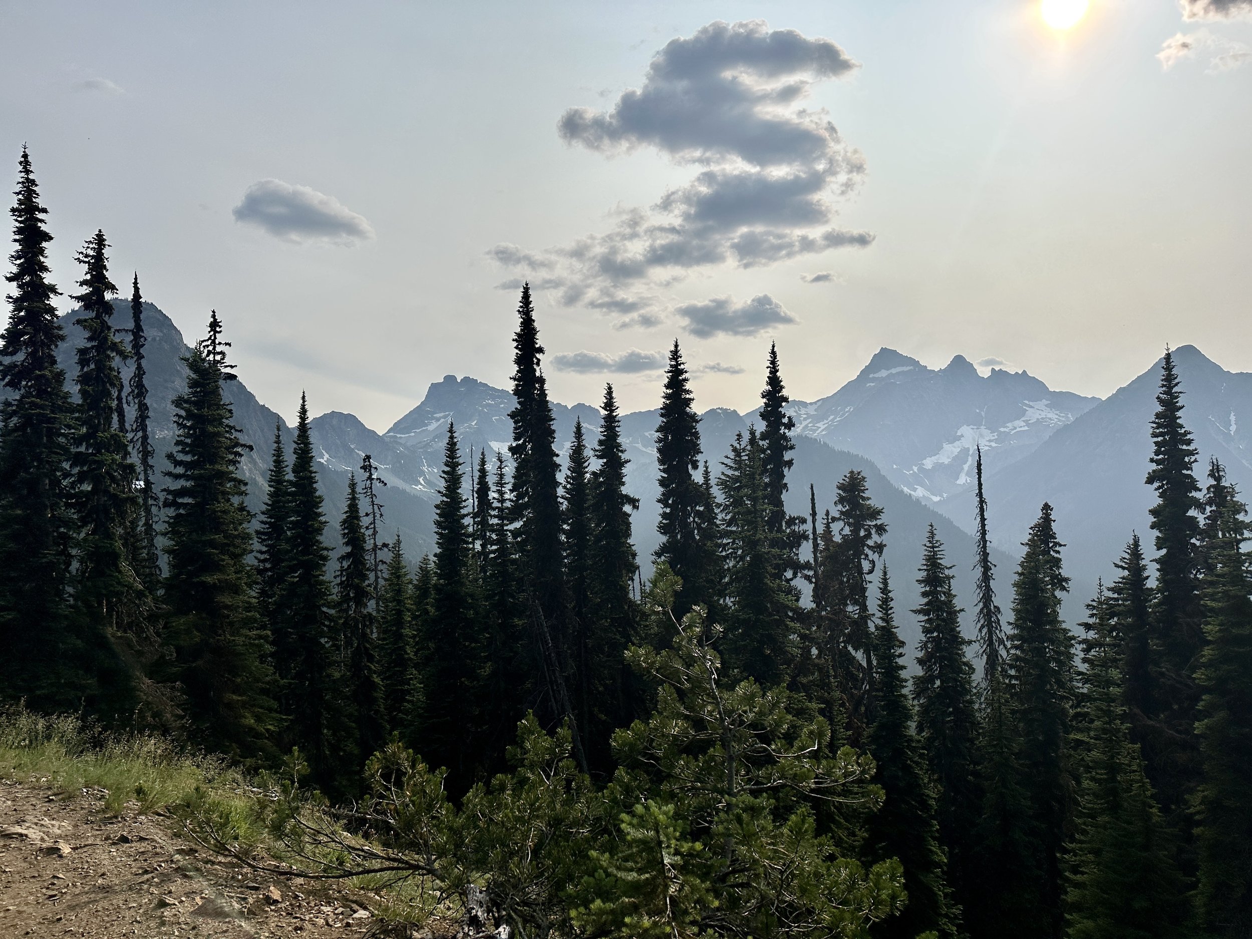
I caught up to Valentine. We made dinner and ate around a fire. I pitched camp, tired but feeling accomplished and in awe of my surroundings. Before I went to bed I noticed condensation collecting on my tent and, in the morning, awoke in a bowl of pea soup with a soaked tent. Morale was low. I hiked on through a cruisy forest section, met Amelia, cleared Red’s Pass and ended up making camp on an extremely windy ridge, my tent still wet, and attempted to sleep as my tent heroically resisted the intense buffeting. A howl would arise from across the valley. A warning. A minute later the sides of my tent would push in and the trekking poles holding it up would strain. A grouse hooted indifferently. Morale was lower.


I was now behind my colleagues but if I made good time this next day and the day after, I might make it to Leavenworth in time for sweet relief and an inner-tube float down the river. The sun was peaking out. Relief was in sight. Morale was up! The pea soup was back. Morale was down. Finally, after another lake, the sun was truly out. I had a yard sale (dried all my gear) and morale was … a little higher.

I made a lead foot for Leavenworth and met a dozen hikers, some PCT and some not, and they charged my battery as I made my way to Steven’s Pass. A woman fishing with her father gave me an orange. I met a hiker attempting an audacious feat and caught a ride with him into Leavenworth.
Lucy and Naked Dave gave me a warm welcome in town. We floated. We recharged. We ate a lot of ice cream. Morale is high.